Paul’s Missionary Journeys
Paul's missionary journeys mapped: Acts 13–14, Acts 15–18, Acts 18–21 and Acts 27–28, 98 places plotted with modern coordinates and the source behind each identification.
Acts sends Paul out three times, and then sends him once more in a way he did not choose. The three missionary journeys run from about AD 46 to about AD 57. All three set out from Syrian Antioch; the first two come home to it and report, and the third ends in custody at Jerusalem. Between them they cover Cyprus, the southern coast of Asia Minor, the Galatian plateau, the province of Asia, Macedonia and Achaia. The fourth journey, around AD 60, is the voyage to Rome, and it is not a mission: Paul made it under guard, having appealed to Caesar.
The shape repeats. A church sends him out; he works a province town by town, arguing first in the synagogue; he is run out of most of the towns he preaches in; and on the way home he walks back through the same towns to appoint elders in whatever survived. What changes from journey to journey is the reach, not the method. The first is a loop around one province and back. The second runs out of road at Troas and crosses into Europe. The third stops moving almost entirely and spends the better part of three years in one city.
The dates are approximate, with one exception. An inscription found at Delphi puts Gallio in office as proconsul of Achaia in AD 51–52, and Acts 18 has Paul brought before Gallio at Corinth. That single crossing of Luke’s account with a Roman record fixes the middle of the second journey, and everything else is dated by working outward from it.
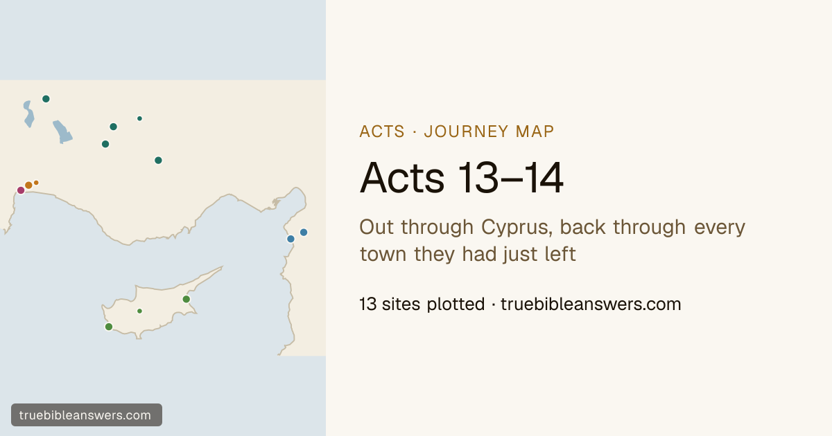
Paul's first missionary journey
Acts 13–14 · 13 places plotted
Out through Cyprus, back through every town they had just left
The church at Antioch fasts, lays hands on Barnabas and Saul, and lets them go. They take Cyprus end to end, cross to the mainland at Perga — where John Mark leaves them, for a reason Luke never gives — and climb a hundred miles inland onto the Galatian plateau. Four towns, a stoning at Lystra, and then the same four towns walked again in reverse to appoint elders in the churches they had just been driven out of.
Open the map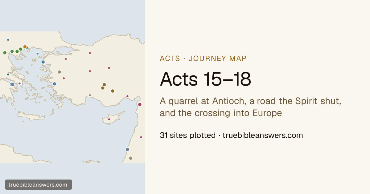
Paul's second missionary journey
Acts 15–18 · 31 places plotted
A quarrel at Antioch, a road the Spirit shut, and the crossing into Europe
Paul and Barnabas fall out over John Mark and leave Antioch separately. Paul goes overland with Silas, picks up Timothy at Lystra, and then finds the roads closed to him one after another — Asia forbidden, Bithynia refused — until he runs out of land at Troas and a man of Macedonia stands in a vision. Philippi, Thessalonica, Berea, Athens and Corinth all belong to this journey, and so does the one firm date in Paul's travels.
Open the map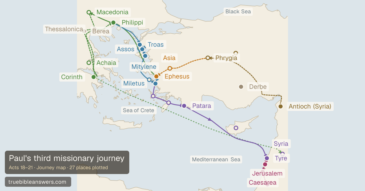
Paul's third missionary journey
Acts 18–21 · 27 places plotted
Three years in one city, a riot in the theatre, and a road that ends in chains
The long stay. Paul spends the better part of three years at Ephesus, until the silversmiths riot over what the preaching is doing to the trade in shrines; then Macedonia, three winter months in Greece, and the run home down the coast port by port — Assos, Mitylene, Chios, Samos, Miletus, Cos, Rhodes, Patara — to Tyre, Caesarea, and an arrest in Jerusalem.
Open the map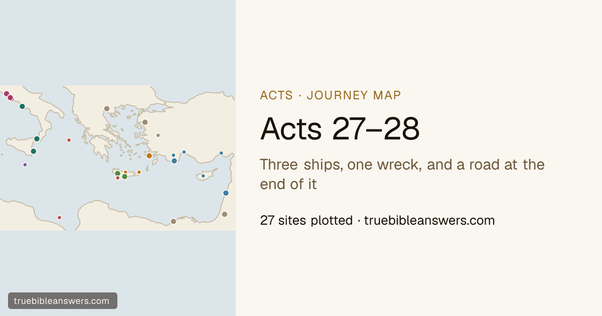
Paul's journey to Rome
Acts 27–28 · 27 places plotted
Three ships, one wreck, and a road at the end of it
Not a mission. Paul had appealed to Caesar, and this is what the appeal cost him: Caesarea to Rome under guard, on three ships. A north-easter holds the second of them for fourteen nights and puts it on a beach nobody aboard recognises, and it takes the next chapter to say the island was Malta. Three months later a third ship works north to Puteoli, and Rome is a road from there.
Chapter by chapter
How these maps are drawn
Each map plots every place its chapters name. Coordinates come from OpenBible’s identifications, and every place carries the confidence scholarship places in it along with a link to the source it came from; where an identification is contested, the map says so rather than choosing quietly. Under each map a scrubber walks the journey verse by verse, and the frame follows the reading.
The rest of the collection is on the Bible maps index.